


The Riviera
The Riviera
The Riviera encompasses an ocean-facing hillside and back hillside extending for approximately two miles, with the north side extending from Foothill Road to Sycamore Canyon Road, and the south side from the Santa Barbara Mission to North Salinas Street. The famous ribbon-like Alameda Padre Serra serves as the principal entry point from the Mission and the City of Santa Barbara. Since the past century, it has been known as "the Riviera" due to its resemblance to the Mediterranean coastal towns of France and Italy. The neighborhood has winding streets with intricate stone work terracing built by early 20th-century Italian immigrants. Most of the topography of the Riviera is relatively steep, making it particularly noteworthy for homes with outstanding views of the City of Santa Barbara and the Pacific Ocean.
Hope Ranch
Hope Ranch
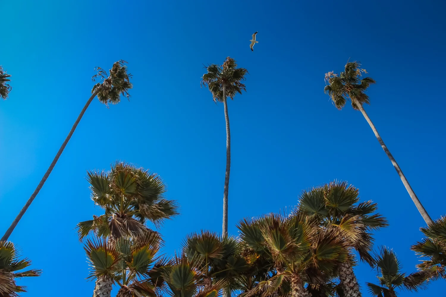
As you pass through the gate and under the handsome, fillgreed sign suspended across Las Palmas Drive, you enter another world named Hope Ranch. Towering plams, planted in the early 1900's, line the main drive. Wearing jodhpursand shiny black boots; young children on horseback gallop along the tree-lined trails. An early morning jogger circles Laguna Blanca lake.
Hope Ranch is a community encompassing 1,863 acres. It is situated in the southeastern portion of Santa Barbara County between Highway 101 and the ocean. It consists of a broad flat mesa andlow rolling knolls broken by a magnificent valley and covered with splendid live oaks. The scenery from the home sites on the knolls is indescribably beautiful.
A golfing foursome takes turns putting on a manicured green at the La Cumbre Country Club. Incorporated in 1924, the Hope Ranch Park Homes Association watches over this elite residential area. Membership in the association is automatic upon purchasing a home and brings many privileges: the private beach, bridle paths, tennis courts, and the advantages of the Hope Ranch Riding Trails Association.
Montecito
Montecito
Once a fashionable health resort, the tiny seaside village of Montecito was discovered just after the turn of the century by some of the most influential families in the United States. Soon the wooded Montecito hills, just east of Santa Barbara's city limits began to sprout such magnificent creations as marble palaces, picture-book Normandy castles, elegant Italian palazzos, gracious Cape Cod colonials, and regal English manor houses. For those looking for private schools, country clubs, quaint shops, and quiet lanes that lead to secluded homes, the beach, mountain trails, creeks, and waterfalls - pastoral Montecito is waiting, pristine.
Just south of Montecito is a quaint beach community named Summerland; a relaxed, hillside community snuggled on the coast with breathtaking ocean and island views. Today it is a thriving beach community with 1,545 residents living in 785 homes, condos, or apartments. Summerland is known up and down California for its wonderful weather, friendly residents, good restaurants, outstanding beach, and wonderful antique stores.
Mission Canyon
Mission Canyon
Mission Canyon, which with the Old Mission complex and the area bounded on the south by Mission Street, making up Santa Barbara's "Mission District," is unique. No residential neighborhood in the city boasts a richer historical background, or offers more relics and landmarks of Old Spanish Days.Fr. Junipero Serra, when he helped found the Royal Presidio of Santa Barbara in 1782, intended Santa Barbara's Franciscan mission to be built in El Montecito near the present site of Our Lady of Mount Carmel church on East Valley Road. But four years later, when his successor, Fr. Fermin Lasuen OFM, arrived to establish our mission, he decided that Montecito was too infested with grizzly bears and renegade Indians to risk building a mission so far removed from the protection of the presidio soldiers, so he looked elsewhere.
The Mesa
The Mesa
The Mesa stretches 2.5 miles (4.0 km) from Santa Barbara City College on the east to Arroyo Burro County Beach (or "Hendry's/The Pit" to locals) on the west. "The Mesa" embodies a beach vibe. The neighborhood has beach access to Mesa Lane Beach, as well as Thousand Steps Beach. This is considered to be a desirable neighborhood due to its proximity to the ocean as well as the college.
The Wilcox Property, now known as the as the Douglas Family Preserve, at southwestern tip of the Mesa was a commercial nursery, currently preserved for public use. The neighborhood between Mesa Lane and Oliver Road, while originally plotted as early as 1920, did not develop until after World War II when many veterans built homes with the help of GI loans.City weather records show that the Mesa's winter temperatures are 10 to 12 degrees warmer than downtown, and 10 to 12 degrees cooler in the summer.
San Roque
San Roque
Few residential neighborhoods of Santa Barbara can boast the rich historical background of the San Roque and Rutherford Park areas. San Roque is a charming area with smaller, individual homes in a quiet, yet convenient in-town location. Ten thousand years ago the area, bounded by Ontare Road, Foothill Road, Alamar Avenue and State Street, was an open expanse of treeless grassland, sloping up to the knees of the foothills and bisected by the jungled course of San Roque Canyon. Now a built-up, economically stabilized suburb, it is admired for its sweeping curved streets, its luxuriant landscaping, and its harmonious blend of many architectural themes - Spanish Colonial, English Tudor, French Normandy, California Redwood, Italian and American Colonial, mostly built since 1925. San Roque features older, custom homes with charm.
Samarkand
Samarkand
The name Samarkand comes from an Old Persian word meaning "the land of heart's desire." It was first applied to a deluxe Persian-style hotel that was converted from a boy’s school in 1920. Samarkand later became identified as its own neighborhood located between Las Positas, State Street, De La Vina, Oak Park and the Freeway. Earle Ovington built the first home here in 1920 at 3030 Samarkand Drive. As a pilot, Ovington established the Casa Loma Air Field with a 1,500-foot (460 m) runway that was used by legendary pilots, Lindbergh and Earheart.
The Waterfront
The Waterfront
The Spaniards who founded Santa Barbara in 1782 were soldiers and priests, not seafaring men. Perhaps that is why no provision was made for a seaport. The waterfront, extending 3.6 miles from Shoreline Park to the Bird Refuge, offers no natural headlands to create a safe anchorage. Early-day mariners dreaded Santa Barbara's exposed roadstead so much they used to drop anchor a mile offshore, ready to slip their cables and head for the open sea if foul weather threatened. As recently as 70 years ago the ocean used to cover what today is the City College football field, dashing its surf against cliffs now paneled by La Playa Stadium. Leadbetter Beach did not exist. But just around the corner, east of Castle Rock (a long-vanished promontory), semi-sheltered West Beach became the traditional landing place for visitors. It is thus overlaid with history covering two centuries.
The Santa Barbara Waterfront stretches from the Harbor across from Santa Barbara City College along Cabrillo Boulevard past Stearns Wharf to East Beach, which is near the Santa Barbara Zoo and Bird Refuge. There are Hotels and Motels located along the Waterfront, but behind them are charming homes, duplexes, triplexes and apartment buildings.